Posts labeled with Country ' Argentina'
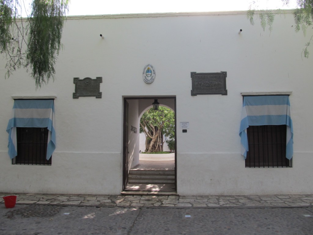
San Juan is a great little city located about 160 km north of Mendoza. ArcticTropic was in town for morning meetings before heading to Calingasta, in the western part of the province. Having a few hours left before departure to the deserts , I decided to explore the city. THe first stop was Casa Sarmiento – the birthplace of Domingo Faustino Sarmiento who was President of Argentina from 1868 to 1874 and is credited with Argentina’s many modern advancements of the era.
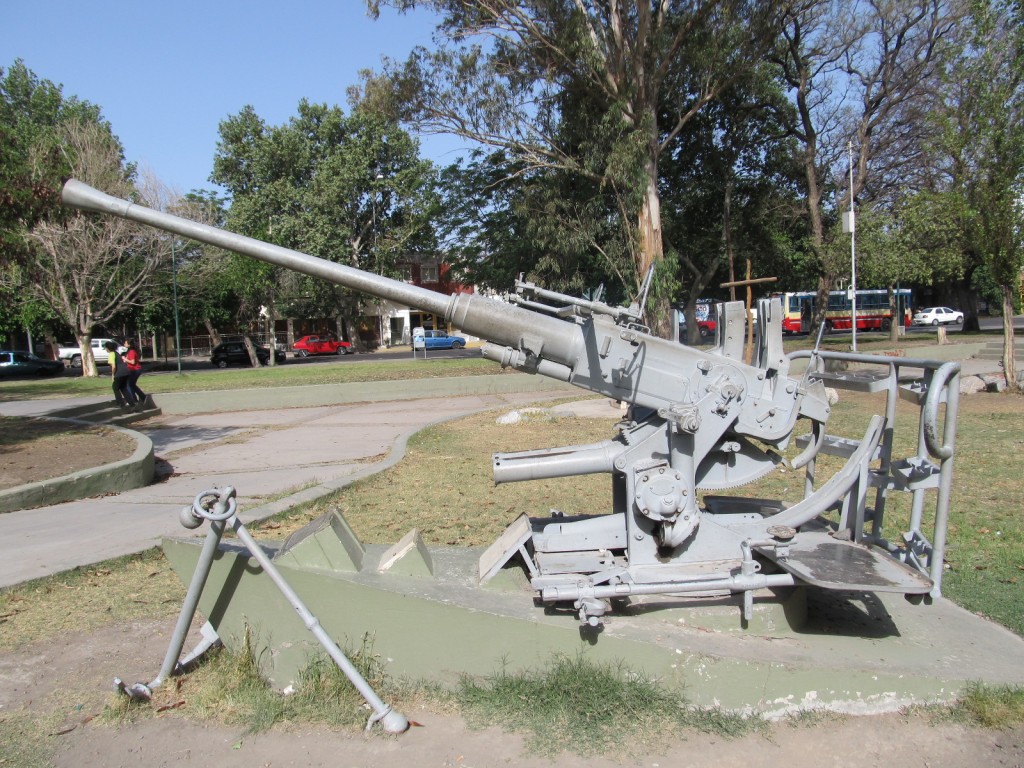
Afterwards, a somber stop to memorialize the young soldiers who died fighting the British in the brief but bitter war in the Malvinas during the winter of 1982. Perhaps the antiaircraft gun above shot down a few Harriers.
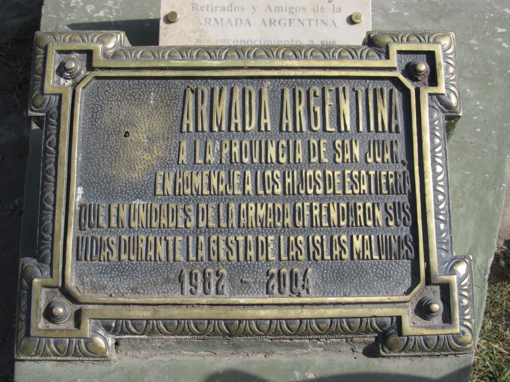
A memorial plaque.
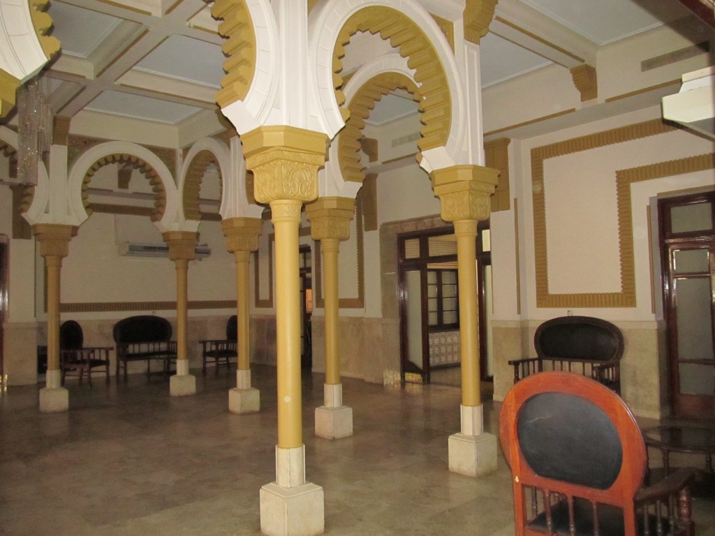
The Syrian-Lebanese Club . The Lebanese have always been one of the more successful groups in Argentina – including President Menem.
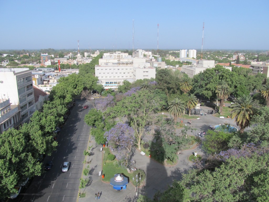
A view from the 35 meter bell tower of the local cathedral.
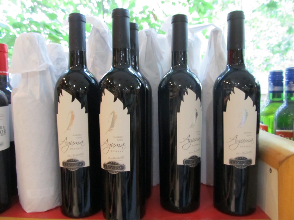
Aguma – one of Argentina’s best wines. San Juan Province is rapidly gaining recognition as a new,exciting wine producing region. Aguma is not yet available in the USA.
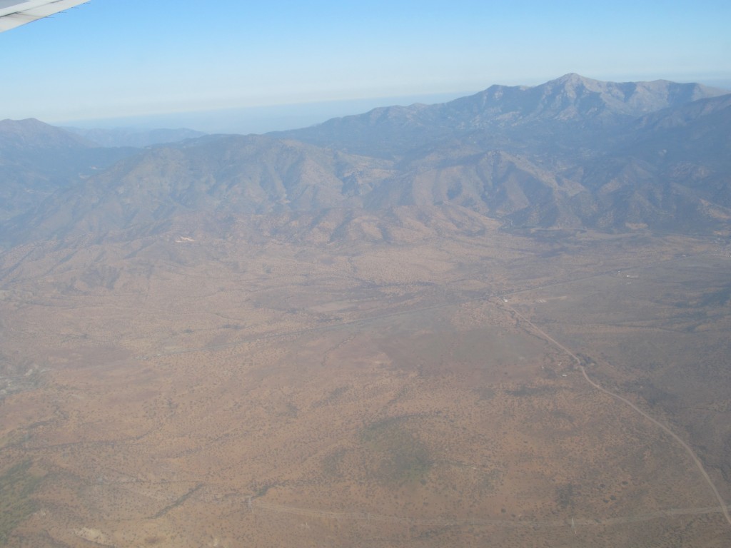
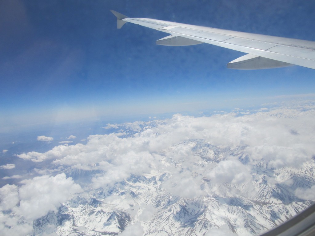
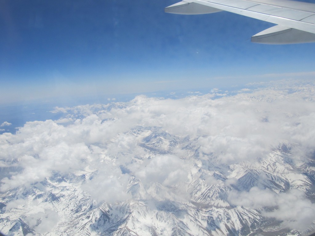
On Friday, September 10th, ArcticTropic travelled back across the Andes, from Mendoza to Santiago, this time in just 45 minutes ! The highlight of the flight is a view of Cerro Aconcagua 6,962 m (22,841 ft), the world’s highest mountain outside of the Himalayas.
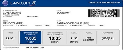
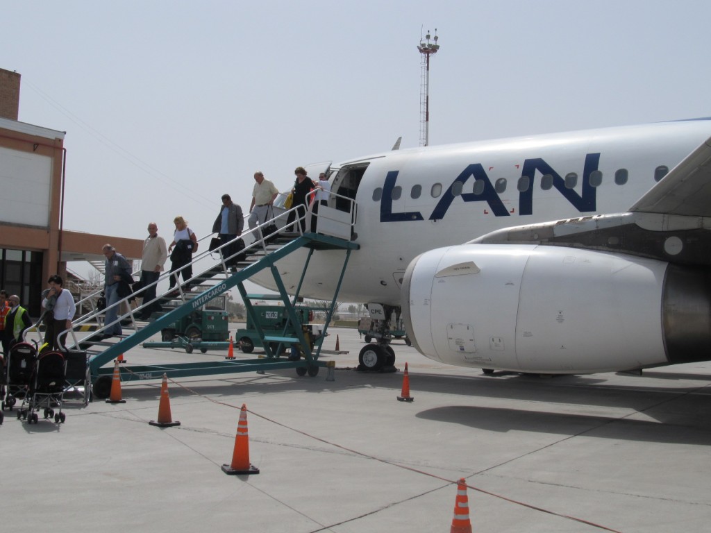
LAN has 3 daily flights to and from SCL to MDZ. Santiago – gateway to skiing at Portillo, and Mendoza, gateway to the Mendoza and San Juan wine regions.
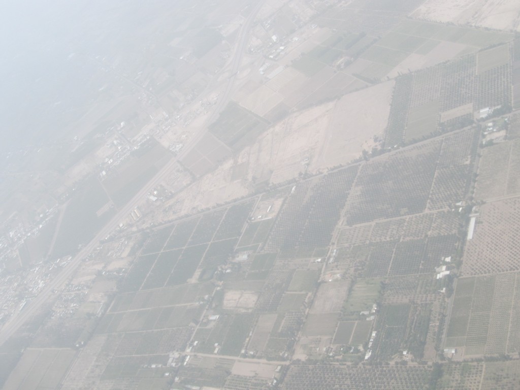
The 200 km drive from Mendoza to San Juan runs up Ruta 40 through the desert along the Cordillera of the Andes – they rise 3 to 4 km straight out of the flatlands that run 1400 km from the Atlantic. Along the route are many vineyards – the desert sun and snowmelt providing ample water are the perfect combination for hearty Malbecs.
For best viewing, choose the 1080p setting.
On Saturday ,September 4th , ArcticTropic skied the slopes of Portillo in brilliant sunshine and then departed at mid-Day to cross the Argentine border,then descended the Andes to Mendoza.
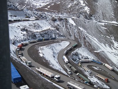
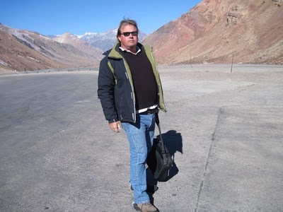
ArcticTropic Director at the Cristo Redentor crossing from Chile to Argentina. In early September, at winter’s end , there are normally several meters of snow here. There was none ! While the winter of 2010 was one of the coldest, it was unfortunately one of the driest. The Chilean side had one third of the normal snowfall, which was enough for great skiing, but in Argentina, heavy snow fell mainly on the flat deserts and pampas, not in the mountains. Some small ski areas never opened. For a more detailed view of the journey across the Andes go to the ArcticTropic Blog archives for March,2008. In a few weeks the bog will be fully searchable.
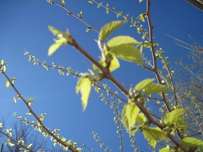
The first leaves of Spring.
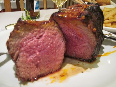
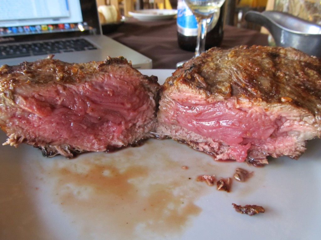
Best Steaks in The World – Bife de Chorizo at Don Mario’s in Mendoza.
FOR ADVENTURES IN ARGENTINA, CLICK HERE
After being told that the temperature atop Perito Moreno was -4 degrees Fahrenheit, I wore as much clothes as I can comfortably walk in. Waking up at the wee hours of the morning was extremely easy when I knew I’d be hiking across one of the world’s most famous glaciers.
An hour and half bus ride and a half hour boat ride across Argentino Lake all led up to a mountain hike through a forest. We arrived at a cabin where we left our lunch-filled backpacks and I was loaned a pair of hiking boots. I wore water proof, leather boots in the hopes of keeping my toes nice and warm, but was told they wouldn’t work well with the crampons I was about to wear.
We hiked again to a rocky shore where we received a quick geography lesson: First of all, Perito Moreno gets its name from Francisco Moreno, an Argentine explorer who helped defend the territory during the Argentine/Chile border disputes. “Perito” means “expert.”
The mountains that Perito Moreno descends from are right on the Argentine/Chilean border. On the Chilean side, the base of the mountains are very close to the Pacific Ocean, which means these mountains are constantly receiving a heavy dose of humid wind and when this wind makes it to the summit of the mountain, the precipitation comes down as snow. This snow falls at the top of Perito Moreno at a rate of about one inch per day.
All this fallen snow creates a tremendous amount of weight on the glacier and gravity pushes it down the mountain at a rate of about six feet a day.
Perito Moreno was created by 400 years of this process: snow falls at the top of the mountain, it compresses and becomes ice and slides the entire mass father down the mountain towards the Peninsula de Magallanes.
The conditions of where the glacier is created must be absolutely perfect to keep it in constant motion. Whether the glacier moves forward or stays put all depends on the amount of mass it loses.
Perito Moreno’s latest trend has been to reach the Peninsula de Magallanes about every four years and create a damn in Argentino Lake. The south side of the lake then begins to rise, creating more friction against the glacier, the water will eventually erode the ice and create a magnificent tunnel. Once this tunnel is created and water starts rushing through, it’ll take about four to six days for the damn to fully collapse and once again, there will be a gap between the peninsula and Perito Moreno.
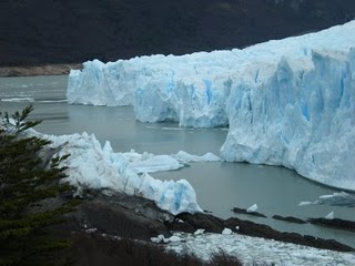 This picture shows the remnants of where the damn was when it collapsed just last year.
Now, back to the adventure.
After the lesson we hiked up a steep and rocky hill to come face-to-face with the base of the glacier.
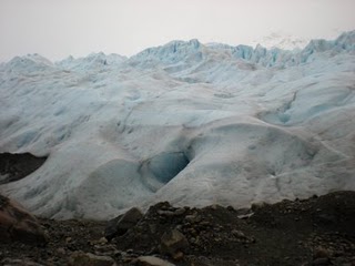 We geared up with our crampons and were taught to walk with our feet shoulder width apart and taking little baby steps. It was a funny-looking walk, but it ensured our safety.
We walked in a straight line, trying to step in the exact same places where the previous persons’ crampons already broke apart the hard ice.
There are craters all over the surface of the glacier that were created by melting water. Standing on top of the giant sheet of ice, all you hear is the wind and the water running through those craters. It’s a constant waterfall sound as the glacier has thousands of inner waterfalls and rivers.
We reached a stream of water where I couldn’t resist and had a drink from the massive water fountain. I took my glove off and reached into the icy water, cupping probably the purest water I’ve ever tasted.
As it turns out, glacier water has no minerals and although it serves for hydration, it doesn’t provide our bodies with the nutrients it needs.
Our hike lasted an hour and as we turned a corner upon our descent, we spotted a table.
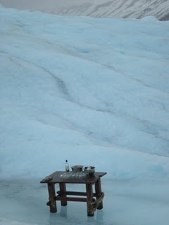 A couple of alfajores, a bowl filled with glacier ice, a few glasses and a bottle of whiskey awaited us. I’m not a whiskey drinker so I grabbed my glass with glacier ice and stuck it under a nearby waterfall. With my pristine glass of water and several others with whiskey, we cheered to a magical and unforgettable adventure.
We climbed off the glacier and took our crampons off. Then hiked back to the cabin to sit beside a fire and have lunch. Our hike then continued as we walked back to boat, then onto the bus and drove to the Peninsula de Magallanes to walk along the coast facing the glacier and view it from all angles.
I passed out on the bus ride back to El Calafate. Could you blame me? It was an eight-hour hike through all sorts of terrain, including the famous and majestic Perito Moreno!
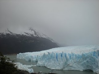
FOR ADVENTURES IN ARGENTINA, CLICK HERE
Yesterday, at 6:30 a.m., three hours prior to the sunrise, and in 20 degree weather, we boarded a catamaran and sailed across Argentino Lake to visit a few glaciers, including the famous Perito Moreno.
We headed northwest towards Upsala Glacier, but didn’t get to see the actual glacier; its loss of ice created a barrier of icebergs that spanned the width of the north arm of the lake. These icebergs, ranging in size from that of a soccer ball to bigger than our 150-foot vessel, were pieces of the glacier that broke off.
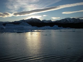 Upsala Glacier is one of 47 glaciers that decend from the Andes mountain range in South America; it’s also the biggest.
These 47 glaciers make up Los Glaciares National Park, 13 of which are moving forward. Upsala Glacier is actually receding. This means the glacier loses more mass than it gains; sadly, the mass it loses was what blocked our route to see it – I witnessed the slow demise of a glacier.
After a half hour of bearing the arctic cold on the boat’s deck, we rushed inside the heated cabin to defrost as the catamaran headed towards the Spegazzini Canal to view the Spegazzini Glacier.
The Spegazzini Glacier is also receding and is considered the tallest of the bunch that form within the park.
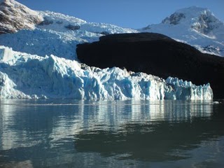 There were barely any icebergs in the water near Spegazzini Glacier and this allowed us to really see the color of the lake. It’s a beautiful light green and it turns out that the lake gets this color due to the ice deposits from the glaciers.
Here’s another tid-bit of information: ever notice the amazing deep blue color some galciers or icebergs may have? (The picture below is an iceberg off the Upsala Glacier and is a great example.) The blue color is an optical illusion caused by the lack of oxygen in the compressed snow.
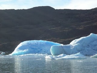 It was while we were awing at the Spegazzini Glacier that we heard thunder, but there wasn’t a cloud in the sky. While the thunder was still rumbling, we heard a splash and there, right in front of us, a piece of the glacier broke off and fell into the water. Truly, a stunning sight. The piece that fell off could have easily been half the size of the boat and the sound it created while breaking off and falling was echoed throughout the glacier wall and the mountains.
The grand finale of the day was a visit to the north side of Perito Moreno.
Perito Morneo’s size is compared to the size of Buenos Aires and although it’s not as big as Upsala Glacier or as tall as Spegazzini, Perito Moreno is famous because it’s one of the few glaciers that is still moving forward.
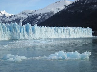 Seeing the glaciers from the lake was incredible!
For more from Agustina Prigoshin, read her blog at www.agustinaprigoshin.com
FOR ADVENTURES IN ARGENTINA, CLICK HERE
I jumped on the End of the World Train (or in Spanish, El Tren del Fin del Mundo) this morning.
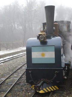 The three-seat-wide train was equipped with a voice recording that provided us with details on all the locations we passed through in Spanish, English and Portuguese; it was a sight-seeing tour, history lesson and language class, all wrapped into a one hour, 4.3 mile ride.
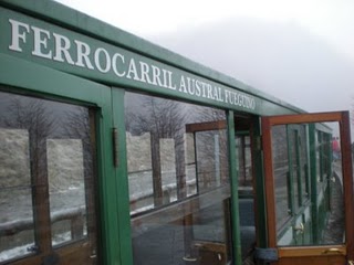 The sun didn’t rise until 10 a.m. and the day started off with heavy fog; heavy fog that never lifted. It created a certain, sort of Transylvanian, effect for the train ride as we passed through areas where prisoners once worked.
Argentina was very close to losing Tierra del Fuego to Chile due to its lack of population during the early 20th century. In order to keep the island, the Argentine government decided to populate it, but because of its isolation and cold temperatures, convincing people to move, would be difficult. The solution, build a maximum security prison and populate it with hard criminals. Its distance from any city and its surrounding waters never rising above 40-degrees Fahrenheit, made the island an ideal prison location.
The End of the World Train was originally built to transport the prisoners from the prison through the forest where they worked and as far as the most south-western tip of Tierra del Fuego, which is where the Pan American Highway begins, or ends, depending on which way you’d like to look at it (the Pan American Highway connects Tierra del Fuego to Alaska). The prisoners’ job was to cut down trees; the timber was used as fire wood, to extend the rail road and build more buildings.
During our ride, we passed through what is known as the “Tree Cemetary,” an area where the prisoners cut down almost all the trees and most never grew back.
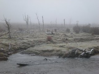 Ushuaia’s beaver population out-numbers the amount of people and their damn-building habits is another cause for the decline in tree regrowth.
The trains’ first stop was at Pipo River. Pipo was a prisoner who tried to escape and couldn’t survive the islands’ weather conditions. He was found dead along a river that is now named after him.
Our second stop was at Roca Lake. It’s named after Julio Argentino Roca, a politician, a General and two-time President.
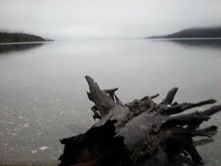 There was absolutely no wind, fog covering the snow-capped mountains and the lake was transparent and mirror-like. It was eerie and at the same time, tranquil.
The trains’ final stop was literally, at the end of the world. It was as far as the rail road stretched and a mere 11,000 miles from Antarctica. Beyond this point, the Atlantic and Pacific Oceans converge.
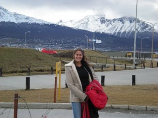
I left chilly Puerto Madryn for FREEZING, three-degree Celsius Ushuaia this morning.
The two-hour plane ride passed quickly as I spent the flight staring out the window looking for the Strait of Magellan and the Beagle Channel.
Although I couldn’t tell the difference between those two bodies of water and all the other wide rivers cutting through the mountains, I got into town just in time to hop on a catamaran and sail the Beagle Channel; this channel divides Chile from Tierra del Fuego, Argentina. Luckily, there was an indoor cabin with the heaters turned on and a full bar that served the most delicious hot chocolates.
The port from which the ship sailed was a short four blocks from our centrally-located hotel. Ushuaia is a big city, but everything a tourist needs is within walking distance from any hotel. It’s perfect.
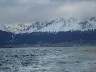
The ship left the port in the afternoon, just as the near-setting sun illuminated the mountain-covering clouds with an amazing pink/red color.
The two and half hour boat ride made its first stop at a small island where hundreds of cormorants called home.
The next island was my absolute favorite. It was littered with sea lions who were ready to play as soon as the ship got near the island.
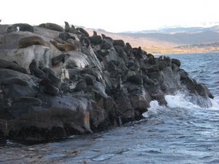
We were about 30 yards away from that island when several sea lions perked their adorable little heads with tiny little ears up and dove into the water. It was a wave of sea lions as we sailed towards them and they swam towards us, almost in unison, diving in and out of the water. Once they caught up, they put on a very enjoyable show as the jumped the waves the ship created, popped their heads out of the water to look at us, stick their tales out of the water and wave at us, flip around and even demonstrate their impressive speed as they swam alongside the ship.
The final stop of the trip was an island decorated with a beautiful red and white lighthouse, Les Eclaireurs Lighthouse.
What an amazing boat ride!
For more from Agustina Prigoshin, read her blog at www.agustinaprigoshin.com
FOR ADVENTURES IN CHILE, CLICK HERE
I left Buenos Aires at 3 a.m. this morning, arriving in Trelew well before sunrise. I slept through the entire hour and a half flight and missed the pilot’s weather announcement, so you can imagine my shock when I stepped off the plane and onto the tarmac into the biting, 30-degree Farenheit air. It literally took my breath away.
The drive to the hotel wasn’t very sightly, one very long meadow until Puerto Medryn. The sun started peaking out over the meadow around 7:30 a.m. with an effect that made the horizon look like it was on fire. I came to learn that in the winter, the sun rises at 9 a.m. and sets at 6 p.m.
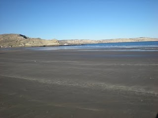
After a much needed nap, we drove to Puerto Piramides, about a two hour car ride, and stopped at two beaches along the way to watch the whales come very close to the shore.
Today was the start of whale season. The whales that spend the year swimming the frigid waters of Antarctica come into the bay at Puerto Piramides to mate; a year later the whales come back to give birth and by the third years’ trip, they return with their young to release them into the wild.
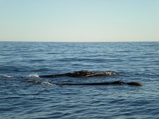
After a delicious lunch of milanesa, we geared up with some very bulky and annoying life jackets and jumped onto a small boat, ready to venture out into the bay and get up-close and personal with the arriving whales. Mind you, even with my arctic gear of tights, thermal socks, ski pants, tank top, t-shirt, long sleeve shirt, thermal shirt, ski jacket and sneakers, it was still pretty chilly.
During our aquatic search for the whales, we met Cormorants (penguin look-alikes that fly and are able to dive up to 240 feet below the waters’ surface), sea lions and seals.
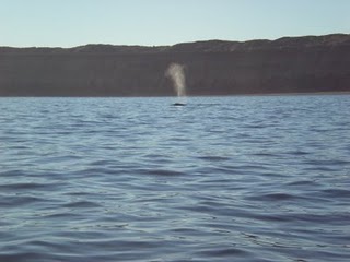
Just when we were beginning to think that a whale encounter wouldn’t happen, we spotted them! A mother Southern Right Whale and her baby. We all bonded and the whales put on a spectacular show of acrobatics as the baby rolled over several times to show us its belly.
It truly was an unforgettable experience.
For more from Agustina Prigoshin, read her blog at www.agustinaprigoshin.com
FOR ADVENTURES IN CHILE, CLICK HERE

